CAI Signposts
Distance
Difficulty
A1, A4, Y6, Y7
21,9 km (13,6 miles)
demanding due to its length
D+
D-
Max Altitude
1080 m (3543.3 ft.)
625 m (2050.52 ft.)
1981 m a.s.l. (6499.34 ft.)
Crossed protected areas
National Park of Abruzzi, Latium and Molise
…………………………… – National Park of Abruzzi, Latium and Molise
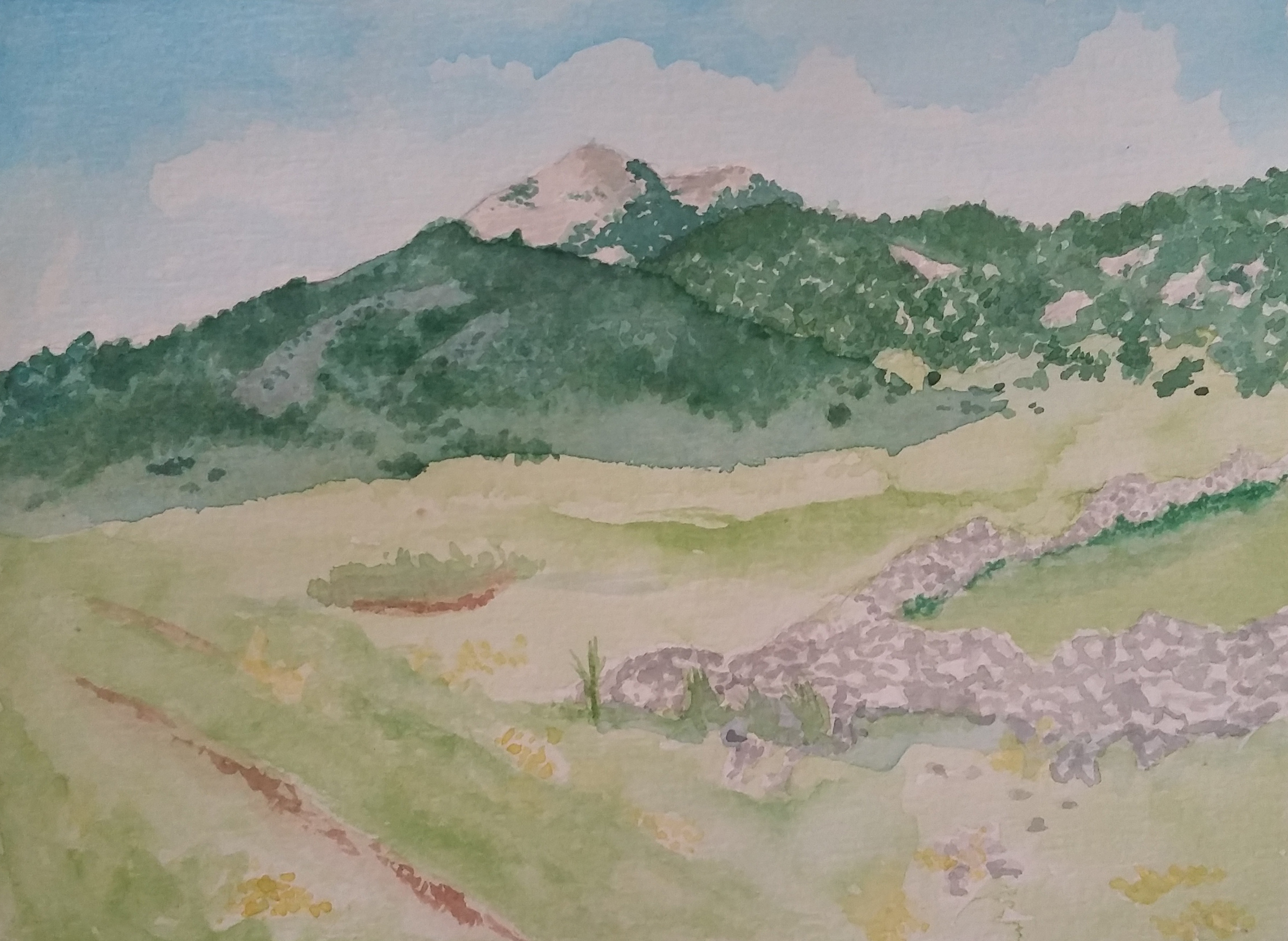
Watercolour by Giampiero Pierini

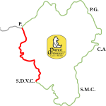
Quite long and awesome step with great variety of landscapes, it opens the ring clockwise in five legs, with return to Pescasseroli.
The ring, major novelty of the new edition of the Wolf’s Path, allows you to cross many areas, more or less common in the National Park of Abruzzi, Latium and Molise.
Crossing the Torrent del Sangro in the northern part of Pescasseroli, one continues along the wide concrete/dirt road with Park signpost A1, heading to the Refuge of Prato Rosso.
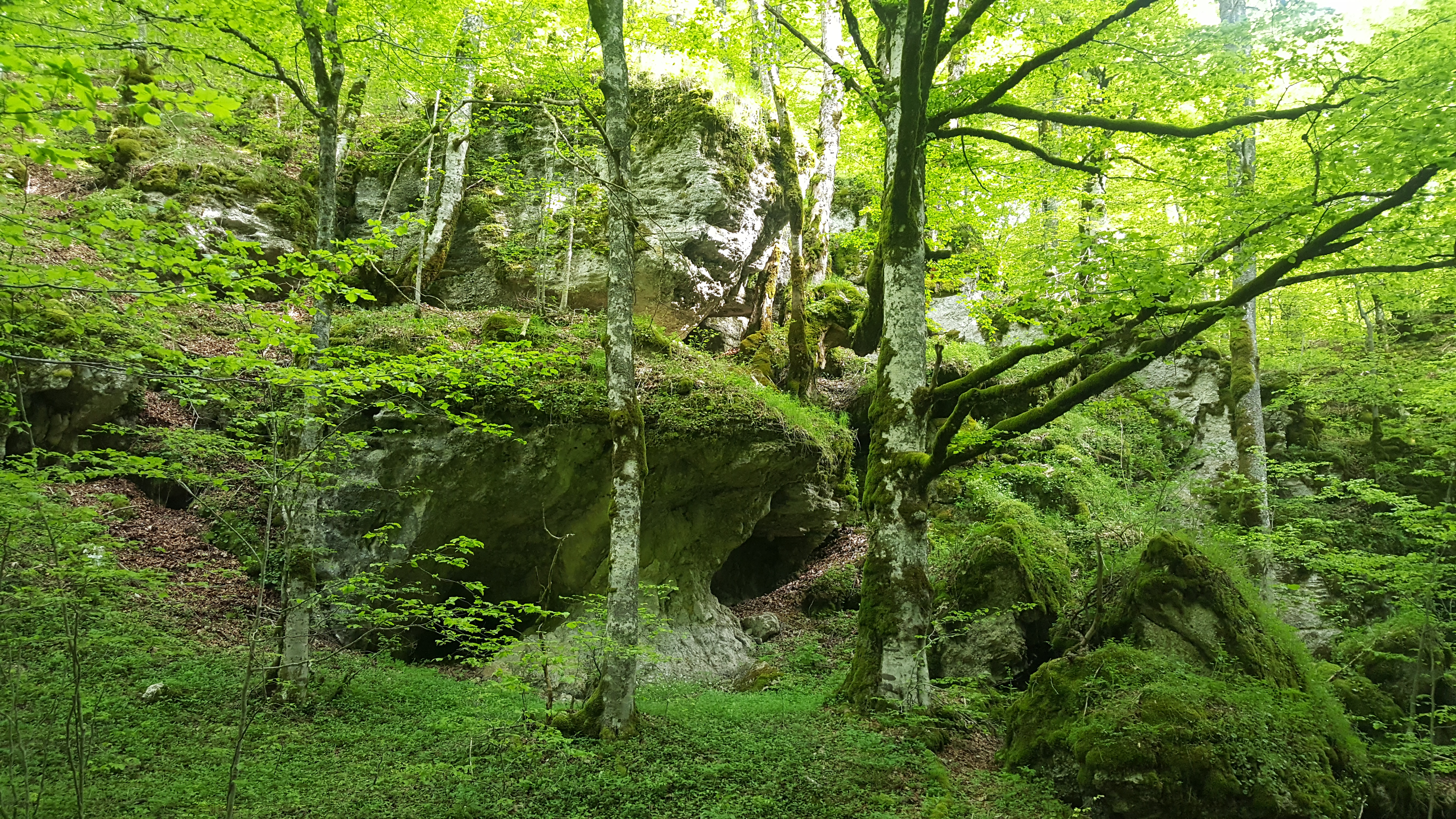
In the first part the road flanks the fields and enters into the valley and into the beech forest. Further on, at a junction where you leave at the right the A6 signpost that leads to Monte Marsicano, we arrive at the locality called Stazzo di Prato Rosso. A little further on, we cross a beautiful meadow and then we return to the beech forest up to the refuge of Prato Rosso and at the crossroads between signpost A1 and A4 ( the path on which we will have to continue).
Following the A4 signpost we climb up to the floodplain of a valley with closer flanks that makes a curve of almost ninety degrees until it comes out in a wide meadow (almost closed at the opposite end), where the path starts to go up the right orographic side. We are now at the altitude of mountain prairies and so we’ll encounter less trees on our way.
Swinging between average altitudes of 1900 m (6233.6 ft.) above sea level, with several ups and downs you cross four passes, skirting the western slopes of Serra Campitello. At the “Stazzo” (animal pen) Valico della Corte you will proceed along the Y1 path going up to the homonymous pass. Further on, we go down the valley heading to the woods and we exit on a wide meadow, walking along the longest side between the flat part and the slope, to re-enter the woods at North-East. Little by little the path in the wood becomes a small road.
You will finally leave the forest and – following the dirt road – you will reach the Serra di Ziomas and an important white road (junction with Y7), which will lead us on weak slopes to Bocca di Pantano, and then, flanking the regional road (SR 479 Sannite) you will soon arrive at the end of step at Passo Godi.
In this leg we can walk down two short alternative paths: the first one, which leads us to the peak of Monte Gennaro and the second one at the end of the step, which brings us to discover the remains of Horaces’s Villa.


