CAI Signposts
Distance
Difficulty
692d, 610, 695, 651, 602b
24 km (14.91 miles)
very demanding due to its important difference in height and to its length
D+
D-
Max Altitude
1376 m (4514.44 ft.)
1539 m (5049.2 ft.)
1876 m a.s.l. (6154.86 ft.)
Crossed protected areas
Park of Simbruini Mountains – Zompo lo Schioppo Nature Reserve
Passo della Selvastrella – Park of Simbruini Mountains
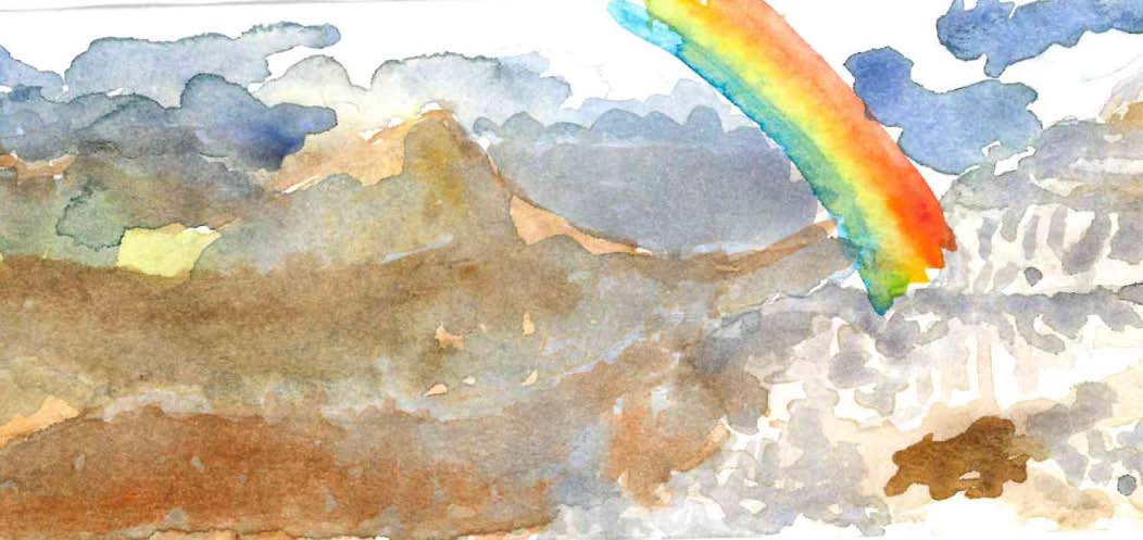
Watercolour by Giulia Mininno

This leg, which makes you climb over the panoramic ridge of the Cantari Mountains – a sub-chain that separates the Simbruini Mountains from the Ernici Mountains, going from Latium to Abruzzi – is the longest and probably the most challenging of the entire Wolf’s path.
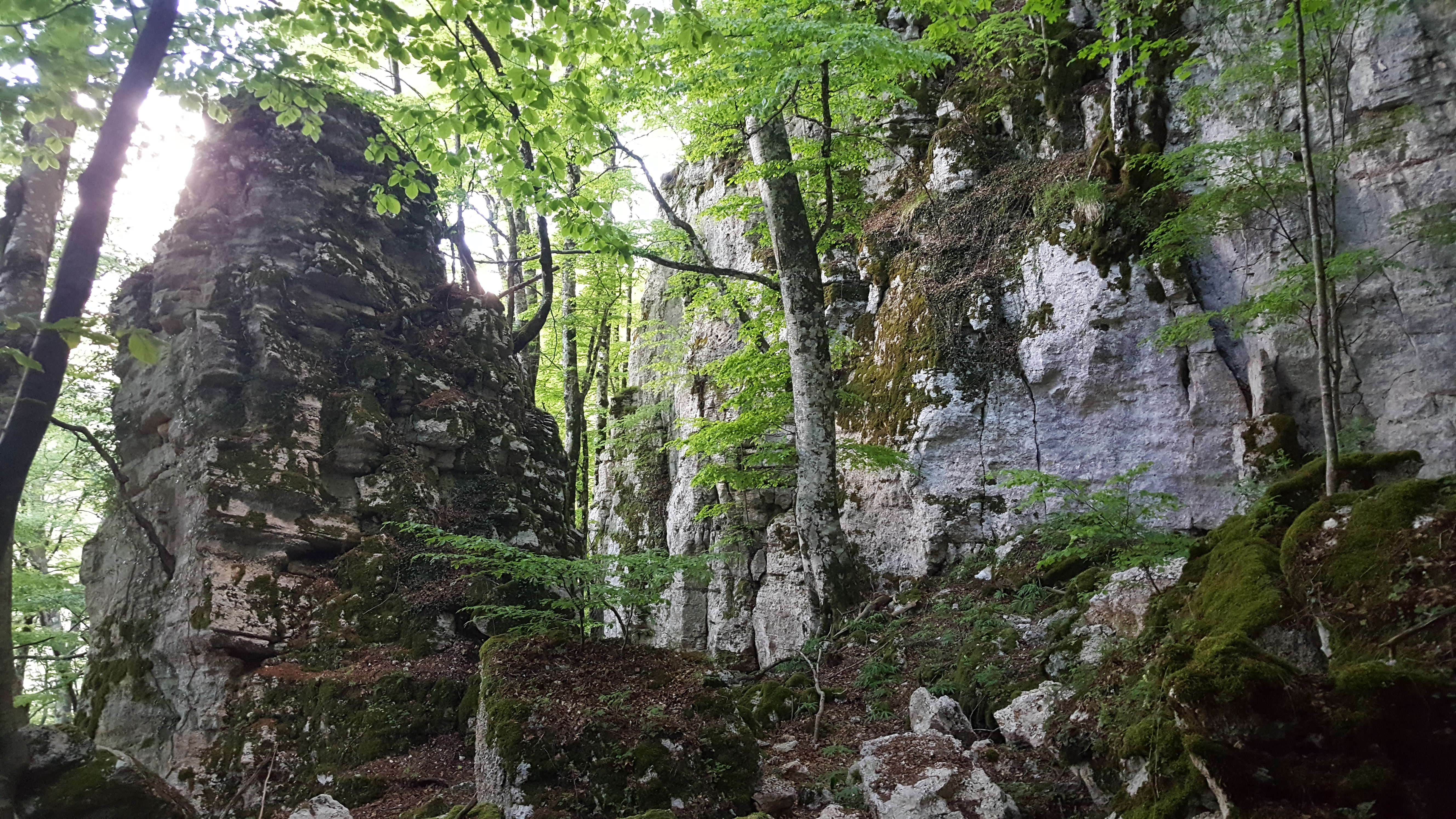
It is an exhausting day of hiking in a solitary and very suggestive environment, which leads across beech-woods of exceptional beauty.
You will leave the Park of Simbruini Mountains to enter and cross good part of the charming and delightful Natural Reserve of Zompo lo Schioppo.
The descent towards La Grancia (hamlet of Morino) requires particular caution in case of rain, especially in the section after Buco del Càuto.
Even if you will spend half an hour time more, we think that the round trip to the hermitage of Santa Maria del Cuto might be worthwhile. The impressive waterfall that gives the name to Zompo lo Schioppo Reserve, is very spectacular but can be dry in the summer season.

