CAI Signposts
Distance
Difficulty
SI, C3, C1, C5, P1
18.5 km (11.5 miles)
demanding in a clockwise direction
D+
D-
Max Altitude
528 m (1732,28 ft.)
932 m (3057,74 ft.)
1563 m a.s.l. (5127.95 ft.)
Crossed protected areas
National Park of Abruzzi, Latium and Molise
………………………… – National Park of Abruzzi, Latium and Molise
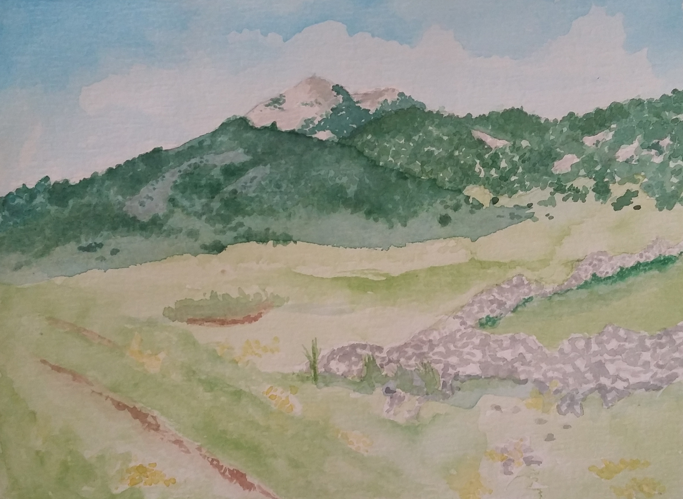
Watercolour by Giampiero Pierini

A long but not tiring step, leading to the beautiful village of San Donato Val di Comino, on the Latium side of the National Park.
The first half of the step occurs among climbs that alternate glades, beech woods and white roads flanking large plateaus; the second part, near the Forca d’Acero area, where the descent to an ancient mule track built through coniferous and mixed deciduous forests with predominance of oaks, will lead us to the goal.
Leaving the village of Pescasseroli behind us, on the main road towards Opi, at the first roundabout just before the bridge that crosses the Sangro River, take the second paved road that continues almost in the same direction as the one entering the roundabout. This part coincides with Italy Path.
At the first junction you leave the road which continues straight ahead and you go on along the one on the right. A little further on it becomes a dirt road; after a right bend the road flanks several sheds and starts to climb gently; left behind a tree-lined stretch, a large meadow opens up with the beautiful drinking trough of La Difesa (photo 4)to the left.
Above it, leave the white road of C1 and take the path with signpost C3 on the left. Keep climbing up among isolated and majestic beech trees, on a narrow road limited by pretty and low stone walls and in the upper part on the right one can admire the small Alpine hut “Padre Terzi”. Still little way and on the left, on the open ridge with spectacular beech trees, you will find the Refuge of La Difesa, with a small wooden church aside.
The path turns flat and overcomes a hill with moss-covered pebbles, goes transversally and arrives on a meadow with panoramic view on the Massif of Monte Marsicano (photo 3). Here is the junction with signpost D4. The small road climbing again to the right enters the wood and steps out of it by the white road we left at the drinking trough. Here we see a wooden cross.
You go across the meadows and staying on the part, which is near to the wood’s edge, after a while, inside the beech forest, the path has to face a more challenging uphill stretch. You arrive on the wide white road at the junction between C3 which continues uphill towards the pass of Monte Tranquillo and C1, which we will follow along the road. You are now in a meadow with a small shrine.
The road descends to the junction with D5, which from the left joins the road after crossing the large Campo Rotondo plateau. You go still ahead on the comfortable dirt road and, at a small clearing on the right, you leave it, continuing along the dirt road where D5 goes on. After a more sustained first stretch, at the moment when the road starts to descend, you must turn at a crossroads taking the route that goes up to the left. The bend is narrow and there are no poles with arrows, so pay attention to the trail signs!
Again, a challenging climb up to the other wide mountain pasture of Campolungo. Cross it along the road almost up to the wood’s edge, when the path continues across meadows on the right. Go straight ahead and uphill heading towards a shrinking point of two imposing rocky cliffs and further the path becomes flat again. You return to the woods walking in the broad part of the valley floor until you walk again on an unpaved dirt road that will lead you to the beautiful and panoramic meadows just below the pass of Forca d’Acero, from which one can admire the homonymous high valley and the beautiful peaks and suspended valleys of Serra delle Gravare (photo 1).
Shortly after a wide and comfortable hairpin bend on the dirt road that is now wide and accessible for cars, D5 enters P1, which we will follow until the end of the step. Go down to the right towards an accommodation facility on the edge of the provincial road that you cross through the underpass. Further, you will come across a watering place and once you have taken the dirt/mule track, you continue to descend, overcoming the watershed shortly afterwards.
Here begins the second part, where the woodland changes, enhancing the human work built along the walkway up to San Donato. In fact, one can admire in some sections the high stone walls supporting the work (photo 2), which have adjusted the course of the slopes of this side of the valley.
Arriving at this beautiful village is also an incentive to deepen the stories collected over time, also connected with German lines of the Second World War and about mining activities.


